

Huge, beautiful, historic maps every weekday; all free to download in high-res. From STL's 59king.
St. Louis, Missouri
Joined March 2011
- Tweets945
- Following28
- Followers1.2K
- Likes119


#Map Los Angeles, #California – the wonder city of America (1932) #LA #LosAngeles — bigmapblog.com/2011/los-ange… — – at St. Louis, MO

#map of the National Capital, Washington D.C. (1892) #DC — bigmapblog.com/2011/birdseye… — – at St. Louis, MO

Walker’s #Boston, #Massachusetts Birdseye #Map (1899) — bigmapblog.com/2011/us40-10-… — – at St. Louis, MO

2

#Map of Elevated #Trains in #Chicago (1897) #transit — bigmapblog.com/2011/elevated… — – at St. Louis, MO

Birdseye #Map: View of San Francisco, #California (1847) #SanFrancisco — bigmapblog.com/2011/view-of-… — – at St. Louis, MO


Pacific Electric #map of Los Angeles, #California (1920) #LA, #LosAngeles — bigmapblog.com/2012/pacific-… — – at St. Louis, MO

#Map: timeline of discovery of US Coasts (1856) — bigmapblog.com/2011/map-time… — – at St. Louis, MO

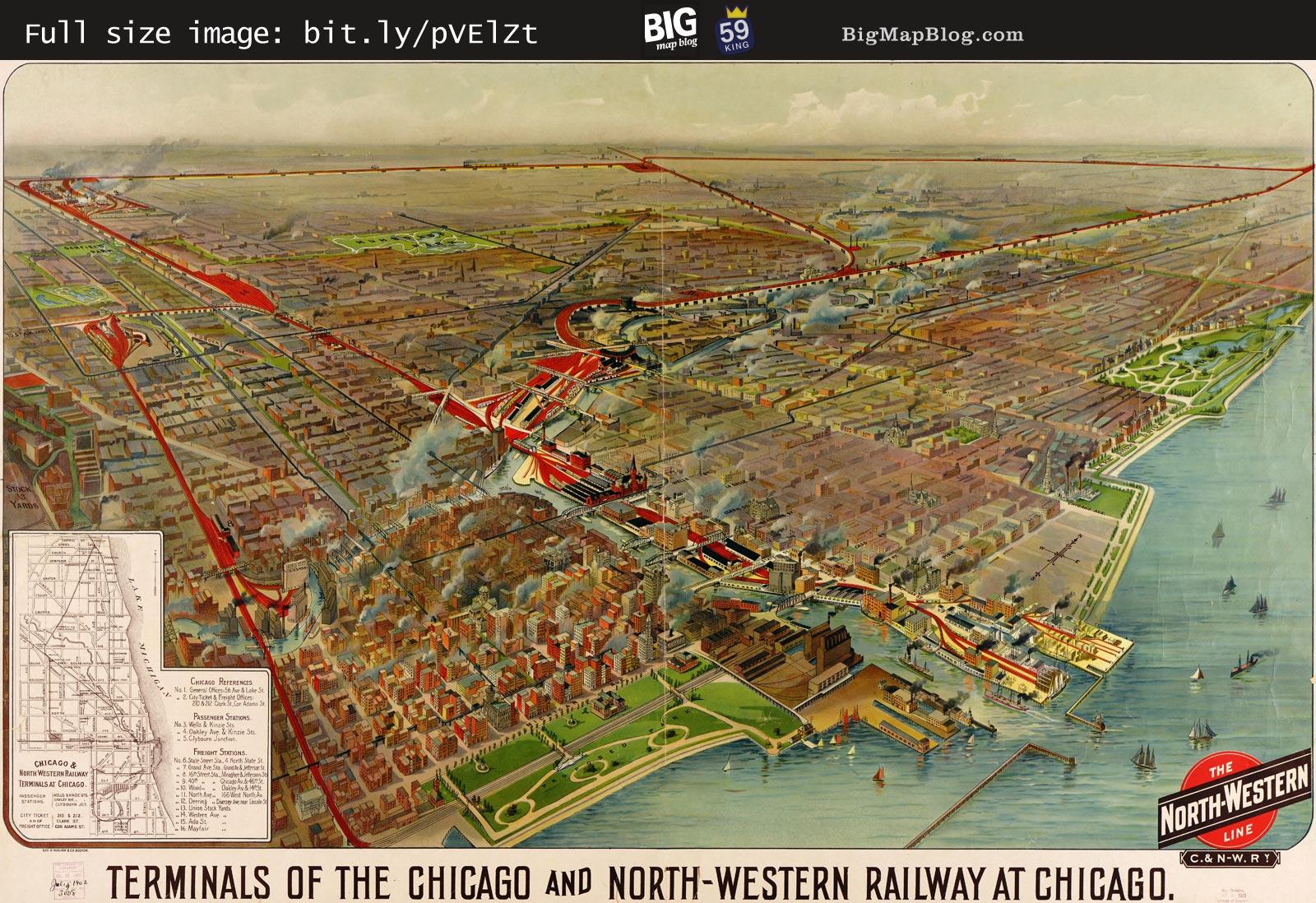
Terminals of the Chicago and North Western (1902) — bigmapblog.com/2011/terminal… — – at St. Louis, MO
1

#Hollywood Star #Map – Golden Age #Celebrities (1937) — bigmapblog.com/2012/hollywoo… — – at St. Louis, MO

2
Vogel’s #map "the Progress of St. Louis" (1884) #STL— bigmapblog.com/2011/the-prog… — – at St. Louis, MO

1
#maps of the #MississippiRiver watershed, by Daniel Huffman (2011) — bigmapblog.com/2011/the-miss… — – at St. Louis, MO

#USGS’ most fascinating #Topo #map: Rozel Point SW, #Utah (1969) — bigmapblog.com/2012/usgs-mos… — – at St. Louis, MO
