

Alan O'Reilly from Carlow Weather offering weather updates and forecasts for Ireland along with local photos.
Carlow
Joined March 2009
- Tweets67.6K
- Following2.3K
- Followers16K
- Likes33.1K


A mild end to October but a cooler and more settled start to November. Nice to have a break from storms but a cool spell into Europe this early wouldn’t help gas prices!

Most of the rain over the next 48 hours is expected to fall out in the Atlantic but some Western areas will catch some of it before it moves Southeast on Saturday, dying out as it does with many areas dry for Halloween night. Good news for many but bad news for some!


Some interesting developments on the weather models, with signs of a significant disruption to the polar vortex in early November.
The latest charts show winds high in the atmosphere potentially reversing around the 9th of November. This could be an unusually early event known as a sudden stratospheric warming (SSW).
These events sometimes lead to changes in our weather a few weeks later, with an increased chance of colder conditions and blocking high pressure during early December. However, there is a lot of uncertainty. Not every disruption of the polar vortex impacts our weather, and some forecasts show the vortex recovering quickly.
Certainly something worth keeping an eye on, but far too early to suggest it means a cold or snowy December for Ireland despite what I’m sure some headlines will say soon as we approach the usual “coldest winter in a decade” headlines this time of the year.


While we have some patchy drizzle Thursday and then rain Friday into Saturday it will die out Saturday evening and then high pressure takes over and very little rain over the following 7 days for Ireland but some other parts of Europe will see plenty of rain as this animation shows.
A few more breezy days ahead and rain Thursday into Friday but high pressure will take over from later on Saturday and that will keep storms away from Ireland for a few days and possibly up to 7 days. Cooler and settled weather with some fog.


Fair play to @ESBNetworks crews, with only 619 premises without power after a very busy period that saw up to 40k out at one stage during the 3 storms.

Still gusting to 97kmh at Malin Head and 94kmh at Mace Head this morning with heavy showers but cooler. A mix of sunny spells and showers as winds ease a little. High pressure still expected to build in over Ireland at the weekend.


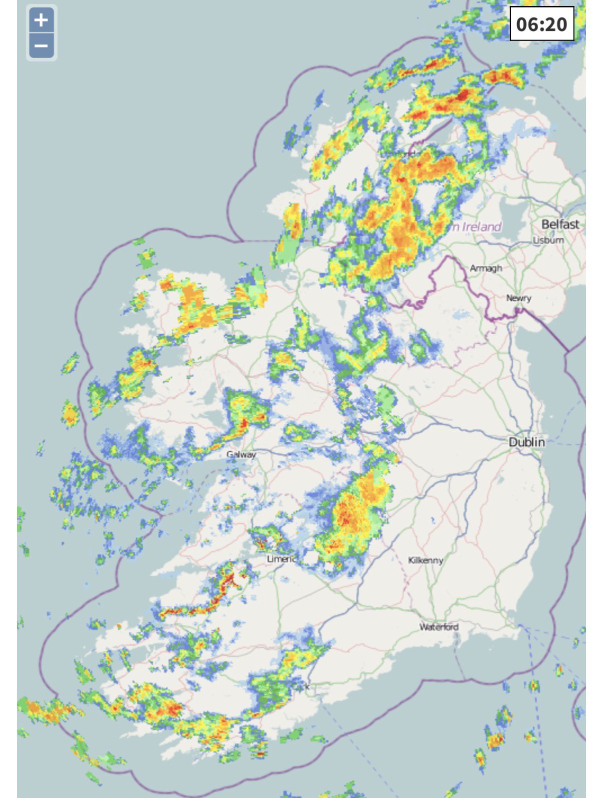


8pm Monday and it’s a very rough night out there from storm with no name as Ireland is the windiest spot in Europe and one of the warmest too. Gusts up to 91kmh in the South. Up to 69mm of rain has fallen in Southwest since midnight and heavy rain continues. Wind will slowly ease overnight for many areas but remain strong in West and Northwest.


Strongest winds in Southeast tonight and then into Northwest Tuesday morning. Good sunny spells but also heavy showers on Tuesday.


A wet morning with up to 25mm of rain in Southwest overnight. There will be a break in the rain later this afternoon before more heavy rain moves in this evening and winds increase further. A mild morning with that brief blast of warm air. Weather will improve tomorrow and Wednesday before a band of rain Thursday into Friday.


Rossnowlagh Beach Donegal showing the damage to the car that was caught out by the tide yesterday. Thankfully the occupants are safe.
Carlow Weather retweeted

A two hat morning scratching for light at sunrise ..
Doolin harbour to the sentinel light of Inis Oírr, Aran Islands. #StormBoelo #doolin #ireland
elainefarrellphotography.com
Follow for more!