

Peddling Spatial Thinking and Thoughtful Flying at Smith College, Northampton, MA.
Northampton MA
Joined August 2009
- Tweets668
- Following815
- Followers521
- Likes563
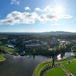
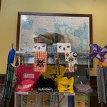




Here at the @smithcollege Spatial Analysis Lab we’re excited for a new semester of spatial thinking, collaborating, and drone flying!
Stop by to chat about all things spatial and GIS related!
📸 Great picture from one of our students in the drone course, Alyssa!

How do you use #maps? Overheard waiter @HenHouseMN give directions to washroom "see the map, turn right" (red arrow added for emphasis) #NACIS2022


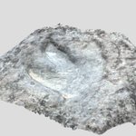
Another "step" towards virtual landscapes @smithcollege. Partners include @SmithCEEDS,Imaging Center, & Geosciences. Project to include #drone imagery, close range #photogrammetry, and 360 video, sound?, to build immersive landscapes. #dinosaurs #wmass skfb.ly/owYwF
Developing virtual landscapes for Geosciences @smithcollege. #Dinosaur footprint proof of concept is promising with more to follow. #Polycam #dinosuar #ctriver
skfb.ly/owXQz

ALT 3D model of Dinosaur footprint
Looking for fun quotes related to flying (drones) - as example Doug Adams: “Flying is learning to throw yourself at the ground and miss.” #drones #drones4good #goodreads #teachingdrones #droneart
How are folks storing and sharing their drone imagery (orthomosaics, oriented imagery, video, etc)? How do you balance discoverability, access, ease of use? What features do you look for in an image/data portal? Thoughts and reviews are welcome. Thanks.
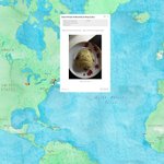
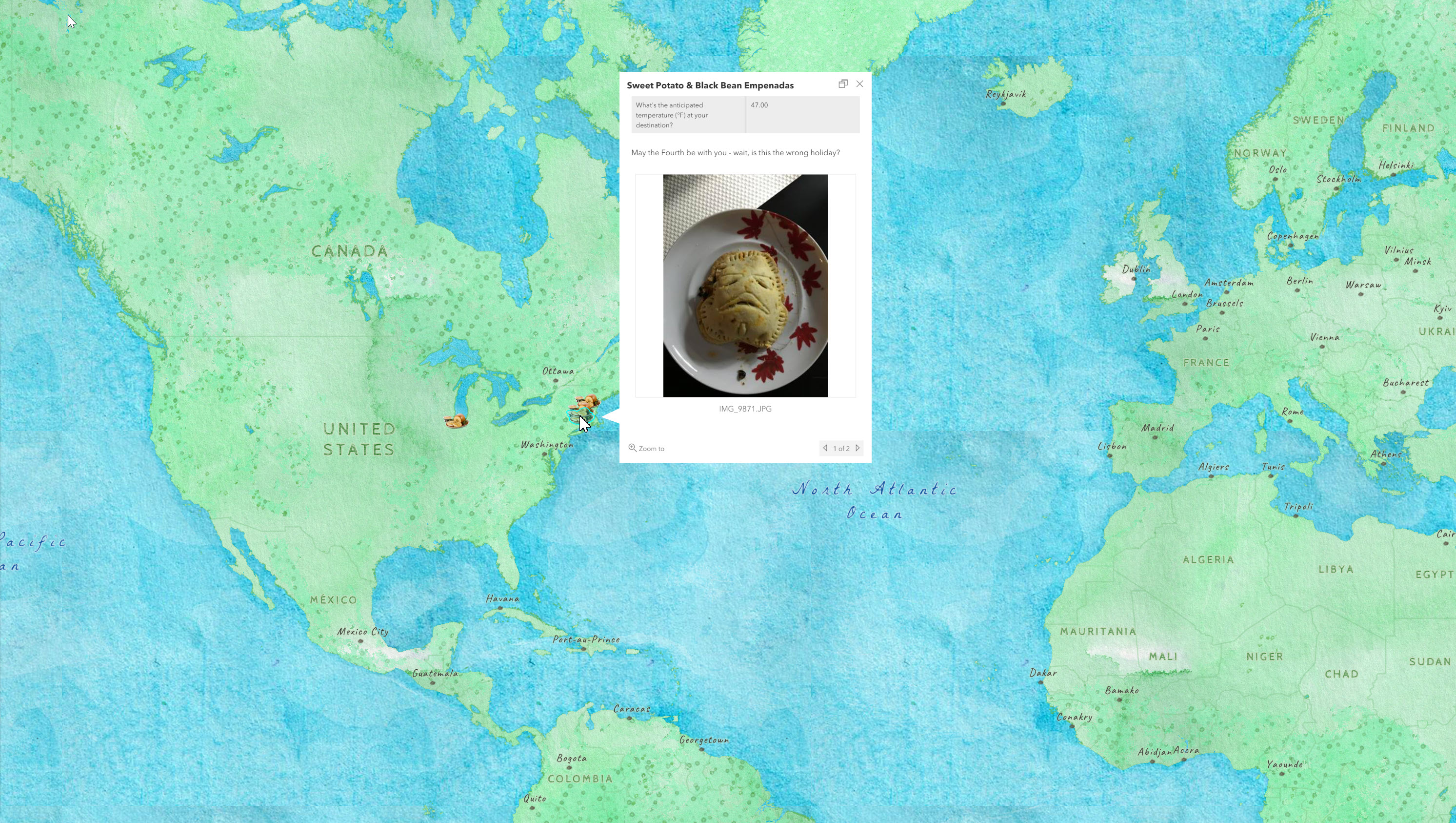
Stuff the Tofurkey Map by sharing where you're spending Thanksgiving break and dish out a meaningful grub: bit.ly/TofurkeyMap2021 @smithcollege
Scouting research sites for drone mapping & photography class @smithcollege. Research may involve swimming, kayaking, #wildlife, open air, forest bathing, and stunning & informative images. #drones4good #GIS #lake #ecology

Never know how far downstream a story map will travel. Picked up by @MaryCorbet and referenced in her wonderful article "Needlework History: On Mills, Floods, and Embroidery Threads" @smithcollege @esri #storymaps #millriver bit.ly/MRflood

Well crafted #storymap by @smithgis student assistant in collaboration w @smithartmuseum scma.smith.edu/art/exhibitio…

Our spring workshop series @smithcollege attending to Women's History Month featuring navigator's, pictorial maps, history, and more.
science.smith.edu/sal/2021/0…

Gratitude to @AirdataUAV for enabling live stream drone flights for @smithcollege @SmithCollegeSDS class. @BaumerBen provided great play by play analysis and we plan to do again soon! #somanymovingparts


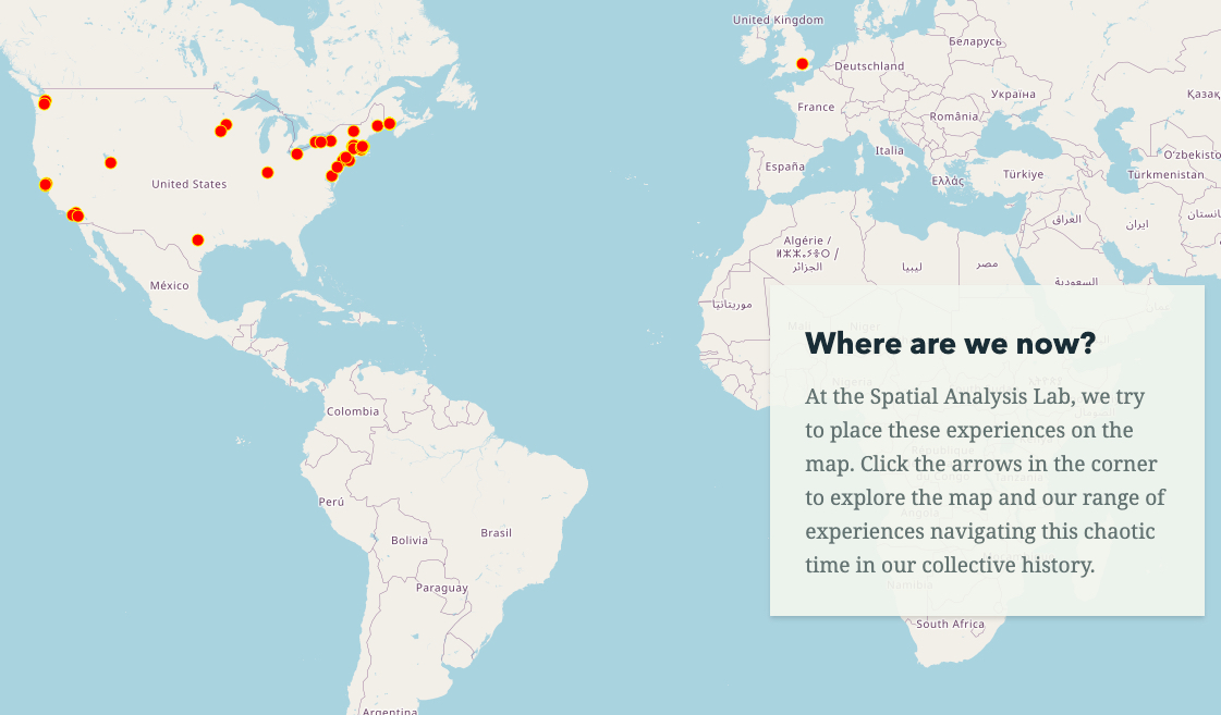
The theater department @smithcollege transformed our COVID-19 experience #map - bit.ly/cv19maps - into performative space as part of the Amplifier Project! New way to think about our practice! sophia.smith.edu/theamplifie… #mapperformance #mapacting #amplifyproject

Cartographic ode to turkey day and native american heritage day – be the crowd to our annual crowdsourced tofurkey map: bit.ly/sal-tofurkey2020 @smithcollege
Happy GIS Day from ///shared.slide.sugar! Here's a cozy rendition of MacLeish Field Station at @smithcollege/@SmithCEEDS for #30DayMapChallenge Day 18 Land Use using @John_M_Nelson's purls of wisdom. #MAGISDay2020


Smith College is currently searching for a tenure track human #geographer to join our Environmental Science and Policy department. Apply to collaborate with @smithgis apply.interfolio.com/78415