

Creator | 18 | Canadian 🇨🇦 | TWSS Alumni | https://nitter.cf/t.co/YQGNSZ712q
- Tweets2.2K
- Following3K
- Followers256
- Likes40


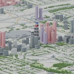
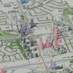
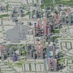
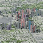
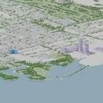


ALT An illustrative 3D aerial view of downtown Mississauga, with existing and possible future towers around Square One. Published October 23; proposals may change. City of Mississauga and OpenStreetMap source credits appear in the image.


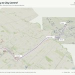
ALT Independent 3D route sketch from Kipling to Mississauga City Centre via Sherway, Dundas and Cooksville. A purple dashed line connects labelled areas across the city model. Green GO lines and gold Hurontario LRT provide transit context. These are illustrative routes and area labels, not an approved alignment or selected station sites. Future Mississauga.

ALT Original TTC Rapid Transit Expansion Study map, August 2001, Exhibit ES15: Bloor-Danforth Westerly Extension from Kipling to Mississauga City Centre. A pale blue route runs west through the Sherway and Dixie areas, then toward City Centre, alongside existing roads and GO corridors. The prominent original stamp reads 'SCREENED FROM FURTHER CONSIDERATION'. This is historical material, not a current approved project. Archival report: Transit Toronto.

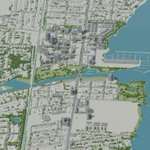
ALT Independent 3D comparison of a more direct Dundas route from Kipling toward Cooksville, with an illustrative continuation north to Mississauga City Centre. The purple dashed route is labelled Kipling, Dundas/Dixie, Cooksville and City Centre. GO lines and Hurontario LRT are shown for context. This is a geographic route sketch, not an engineered or approved alignment. Future Mississauga.

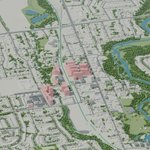
ALT Independent 3D comparison following the broad Milton rail corridor from Kipling to Cooksville, then turning toward Mississauga City Centre. The illustrative route is purple and dashed, with GO lines and Hurontario LRT for context. This is a geographic comparison only: it does not assume shared GO tracks, available railway land or an engineered alignment. Future Mississauga.


