
Weather when you want it, where you want it. Videos, forecasts, musings and much more. Pro-forecasters, pro-tweets. Part of Weather Consultancy Services Ltd.
Joined May 2013
- Tweets21.9K
- Following93
- Followers1.9K
- Likes97
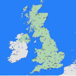
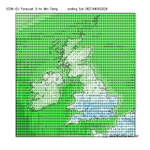


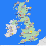
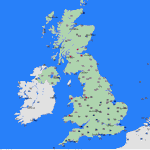


A bitterly cold start to the morning in much of central and southern England as well as Wales with -6C for some. Fair then through the day, best sunshine in England and eastern Wales. More cloud in western areas, some light rain western Scotland and western Ireland, breezier here


186
Forecast lowest temperatures by Saturday morning revealing a sharp frost for much of central and southern England and Wales.

153
So happy to hear of so many enjoying my new book, and having a go at forecasting! Get you copy now amzn.eu/d/00RwgUg4

1
86
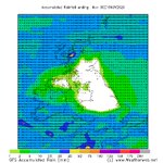
Forecast total rainfall to the end of the weekend showing a dry area across the central third of the British Isles, limited rain surrounding it. Chilly as well until Monday when milder air, gales and more rain arrive for a few days.


1
298
Weatherweb retweeted

Nice map showing theoretically how long it takes rainfall in Welsh rivers to arrive at the sea.
From an hour or two to several days.
In reality, travel times on the Severn in particular can be much longer due to multiple peaks and tributary inputs.
By Robert Berry on LinkedIn

A chilly and mostly cloudy Friday for most of us with classic late autumnal high pressure conditions. Less breezy in the south than yesterday. Some rain along southern coasts. Best sunshine in the west of Scotland, Wales, England and Ireland. Rather hazy and misty for many.


113
Forecast visibility from high resolution UK Met Office model (UKV 2km) showing dense fog extending into the Midlands Sunday morning, mostly clear by midday although cloud reducing visibility as it covers hills in eastern and southern Scotland.


1
194
High pressure brings a quiet Friday to most of us. Fog is being reported this morning over much of central and eastern England and Wales, but there should be some sunshine developing as it clears. Rain in western Scotland and the far west of Ireland. Mild this afternoon in SE.


101
Rain this Tuesday morning in eastern England, clearing into the North Sea by early afternoon with the cold front.
Brighter, breezy for many but some showers over W Wales and W England. heavy, more persistent showers in Ireland and W Scotland at first. 80mph gusts NW Scotland.


135
Saturday's highest wind gusts from Storm Boelo showing much of the west of the British Isles and Ireland taking the brunt of the storm.

Weatherweb retweeted

#StormBoelo in Aberystwyth tonight.
Video by @ViningSmith
Here comes Storm Boelo crossing the British Isles during Saturday. These are forecast hourly wind gusts and show 80mph and above which are enough to cause some damage. The strong winds ease a little on Sunday in the south but storms continue in Scotland.
294

Gust forecasts through Friday and the weekend show gusts of 80mph and above. Highest gusts associated with Storm Austen in southern areas on Friday, then more widespread storm force, potentially damaging winds on Saturday and early Sunday as Storm Boelo hits.
A ridge building for today (Thursday) as low pressure clears Scotland. However, look to the SW, because here comes Storm Austen. Tracking E across S England tonight & Friday is brings an area of storm force winds, gusts in excess of 80mph to coasts, heavy rain and high seas.
Some large rain totals this morning in the 6-hours to 1pm. Northern Ireland, eastern Scotland and southern England having the highest totals.

95
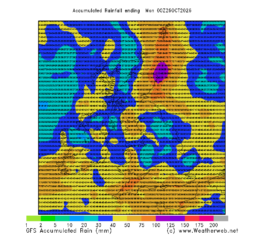
More rain in the coming days. This is forecast total rainfall between now and the end of Sunday. A further 40 to 80mm is possible over western and southern areas, 40 to 50mm in eastern Scotland and northwest England. The flooding risk continues.
107
Six-hourly rainfall accumulations from this evening through to midday Wednesday showing how Tuesday's rain spreads northwards through southern England, the Midlands and then into northern England by the end of tonight before reaching Scotland Tuesday morning and afternoon. Cold.


1
2
226
Severe gales and heavy rain are theme of the coming week. 50mm+ of rain in Scotland, Wales, Ireland & western England bringing local flooding. Gales on Wednesday and then widespread and potentially damaging winds late Thursday into Friday and again on Saturday.


2
147
