Pinned Tweet
Heading into winter I'd love to build my follower base a bit. If you follow me and like what I do with winter storm tracking I would appreciate a plug! I track Northeast winter storms...I'm not an every day, all season weather account... but when winter storms threaten I'll be on it!
Michael retweeted
El Niño winter + blocking (−AO and −NAO) = more snow days for the Ohio Valley, Mid-Atlantic and Northeast.
27 El Niño winters since 1950.
Michael retweeted
Long-range GEFS looks extremely favorable for cold/snow/storms across the East with perfect Greenland Block placement and ridging near Montana
A strong -NAO is inevitable, but the location and strength of Canada Ridge will make all the difference
Michael retweeted
Last night I said data just was not cold enough.
Here is the newest 6Z GFS.
There are 5-6 reasons right now why this can be correct and verify somewhat well.
The stars are aligning for a monster shot of cold that very well may last a bit.
ERCOT Arctic blast? 🤫
They don’t have a clue how to fix this 😂🤡
Replying to @MSFT365Status
We’ve monitored the status of the changes applied to improve serviceability and confirmed they're not taking as expected. We’re identifying alternate workstreams that can be applied to increase capacity in the face of sustained traffic management imbalances. More info under EX1550543 and MO1550821 in the Microsoft 365 admin center, as well as msft.it/6013xBHsf if the admin center is not available to you.
After a few chilly days, we have a warm up next week with many in SNE hitting 60 for consecutive days. We watch for the next shot of cold air and another potential storm towards the Thanksgiving holiday.
4
384
Michael retweeted
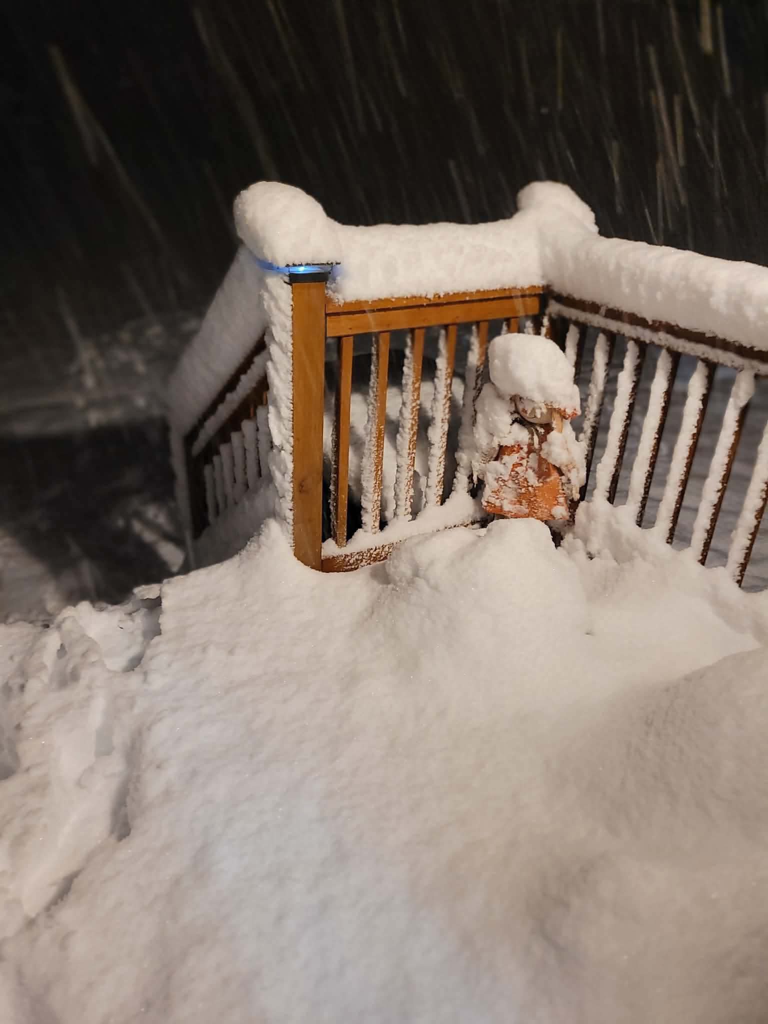
It’s happening!
Reports of 6-7” of snow in parts of NY already!
📸: Plainfield NY
Jeff Castle
#snow #nywx #wxtwitter #wxX
Michael retweeted
But wait, there’s more!
In many seasonal blends, February is responsible for a lot of the action. This matches a common theme of strong Niños being back loaded versus front loaded. NC 👀
Michael retweeted
Here is the latest snowfall forecast and approximate timing of the transition from rain to rain/snow mix and eventually snow. The greatest snow totals up to 3-5" are still expected over the mountains, with a coating to an inch (mainly on grassy surfaces) below 1500 ft elevation

ALT Graphic showing expected snowfall totals today through tomorrow across eastern New York and western New England.

ALT Graphic showing expected weather conditions and snowfall amounts in 3 hr increments for various towns and cities across eastern New York and western New England. For the high terrain, rain quickly changes to a rain snow mix this morning and eventually over to all snow this evening. Valley areas see mainly rain until tonight, when some wet snow is expected to mix in through tomorrow morning. Precipitation tapers off through the day tomorrow from north to south.
Michael retweeted
Not your grandpop's El Niño
I firmly believe the negative Pacific Decadal Oscillation (-PDO) which is NOT rising toward neutral/positive btw... will have a much bigger influence on high latitude Pacific blocking (-EPO) this Winter than many realize.
This is NOT typical behavior in a very strong El Niño, and it's showing up on all guidance later this month, and is not likely to be the last time. A SSW event can also influence this, but the zonal wind reversal at 10 hPa (ongoing) will be more of a December influence.
I think we're going to find out in real-time this year what the -PDO can do to change the torchy strong El Niño narrative. It will be a lot of back and forth... patterns not locking in for long periods. MJO/convection driven. Still Pacific driven at times. But week to week there can be abrupt changes between mild El Niño influences and high latitude blocking in the Atlantic and Pacific that keeps it colder - and produces snow. This is NOT November 1997. Just my opinions... your choice to believe it or dismiss it as speculative bullshit.
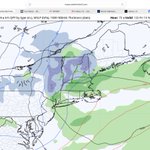
I like where the Euro/Euro AI are at for this upcoming system. I think the GFS and RRFS are overdone. I think a moderate 3-6" in the mountains of NH/VT and interior/elevated areas of NY is a good bet. I think the Berks and perhaps even the highest elevations of NW CT could see C-2", and you could eve see "first flakes" farther south than that at the end with no accumulation. Mostly cld rain for SNE though.
Welcome aboard another 500 followers! Looking forward to having you along as we track winter weather 🤩
7
396
Snow is coming to the north country, looking 3-6” in the mountains of VT and NE NY, maybe 1-3” in lower elevations. I think W MA in the Berks could get C-2”. Just cold rain though for most of SNE (as we’d expect still in the 1st half of Nov)
Chances for >1" of snow accumulation increased for the Capital District, Mohawk Valley and the Upper Hudson Valley Thu-Fri. The chances for >4" of snow accum up to 50-70% over the sern Adirondacks, ern Catskills & the sern Greens now. Winter Wx headlines maybe needed later.
6
586
Michael retweeted
Paul George dropped 36.
Jayson Tatum dropped 21.
Celtics beat the Sixers by 22.
No beef.
Just lamb chops.